Lobster Bay Hike
The Scouts Section arranged a hike on October 22nd, 2022, in Lobster Bay, near the Clear Water Bay area. We have been planning for this hike since last meeting, and the Troop Leadership Team has even created a route chart to make sure the Scouts stay safe and on the correct trail during the hike. It was a beautiful day to hike, and we all enjoyed it a lot!
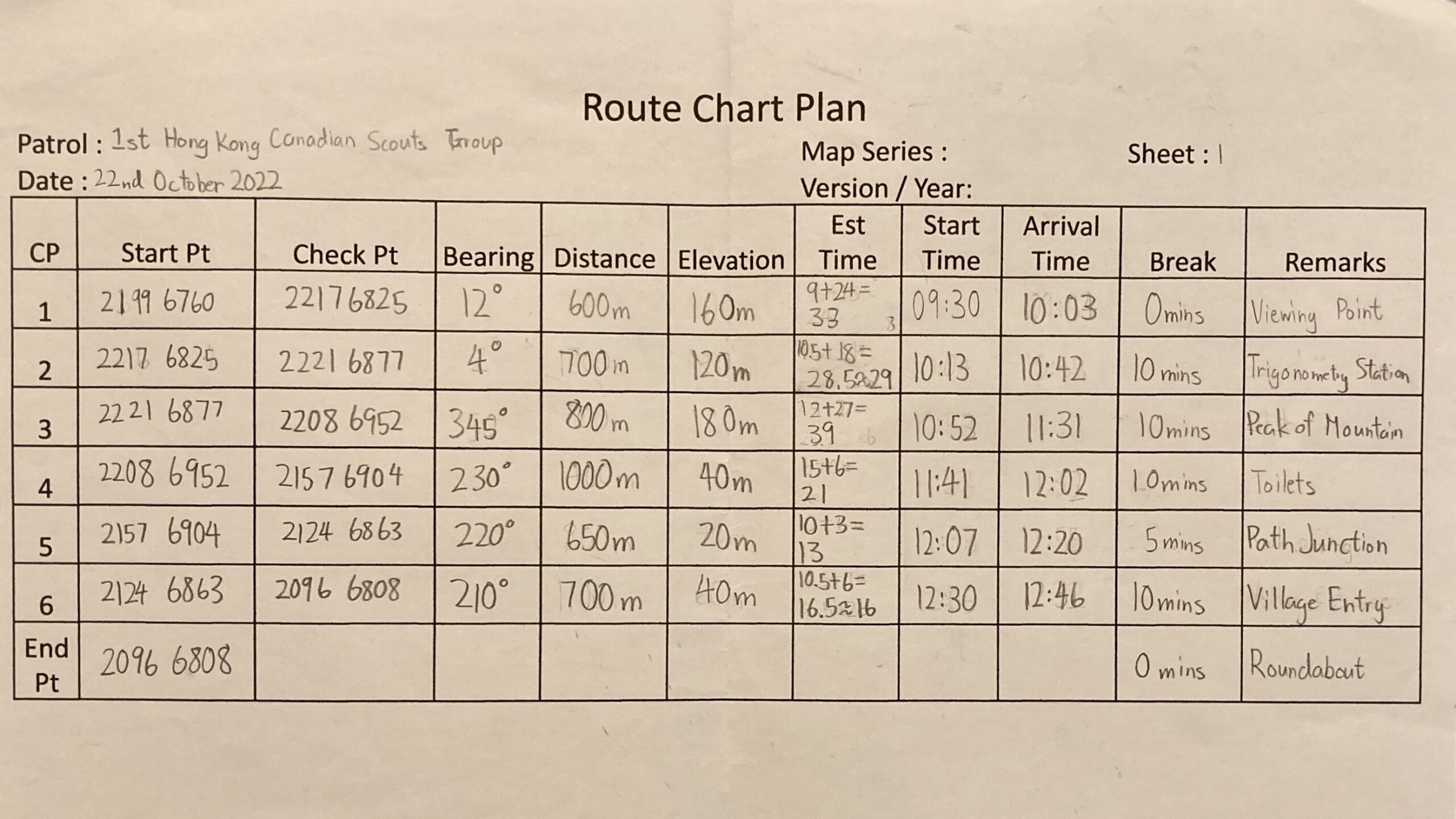
Our Route
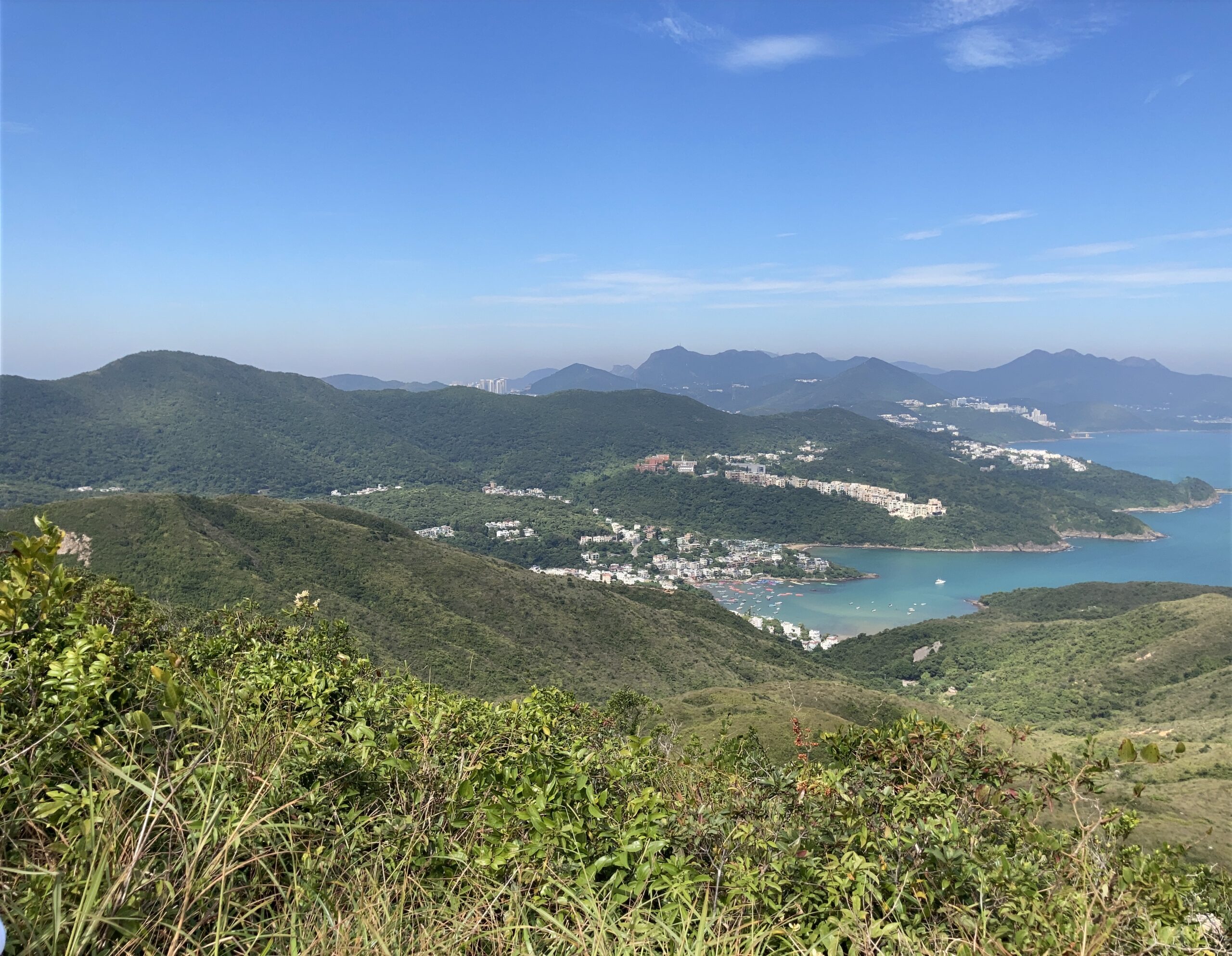
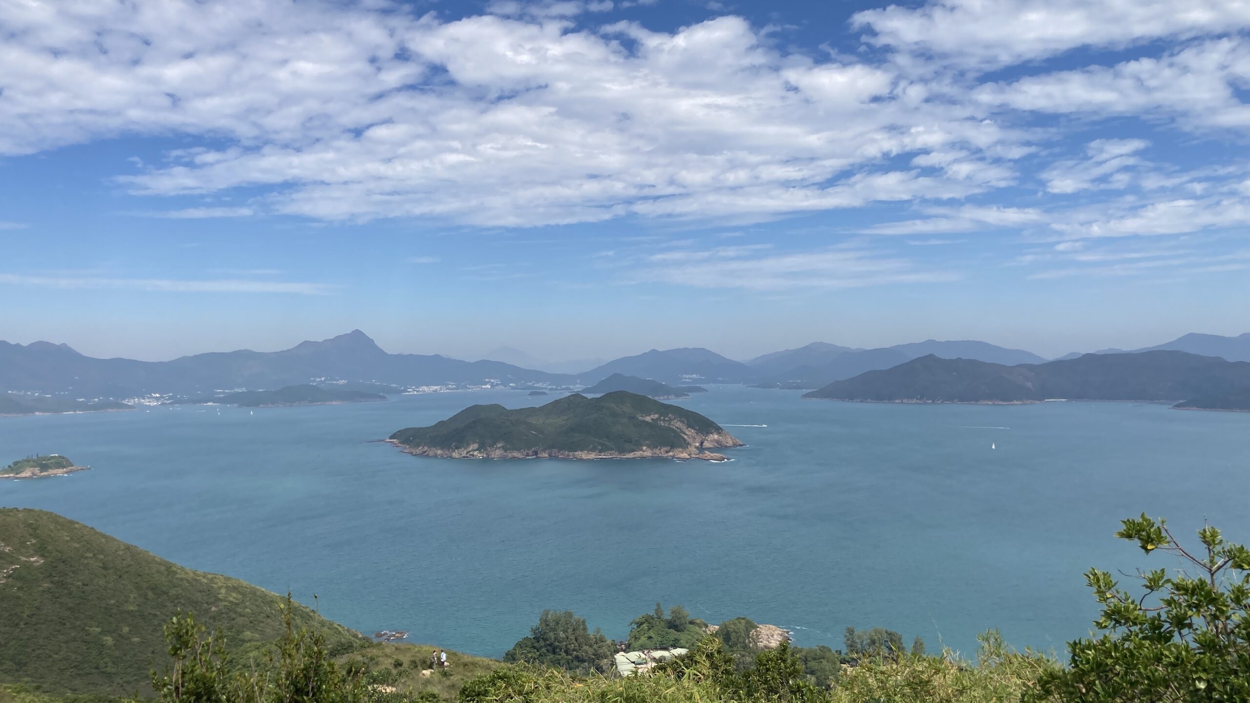
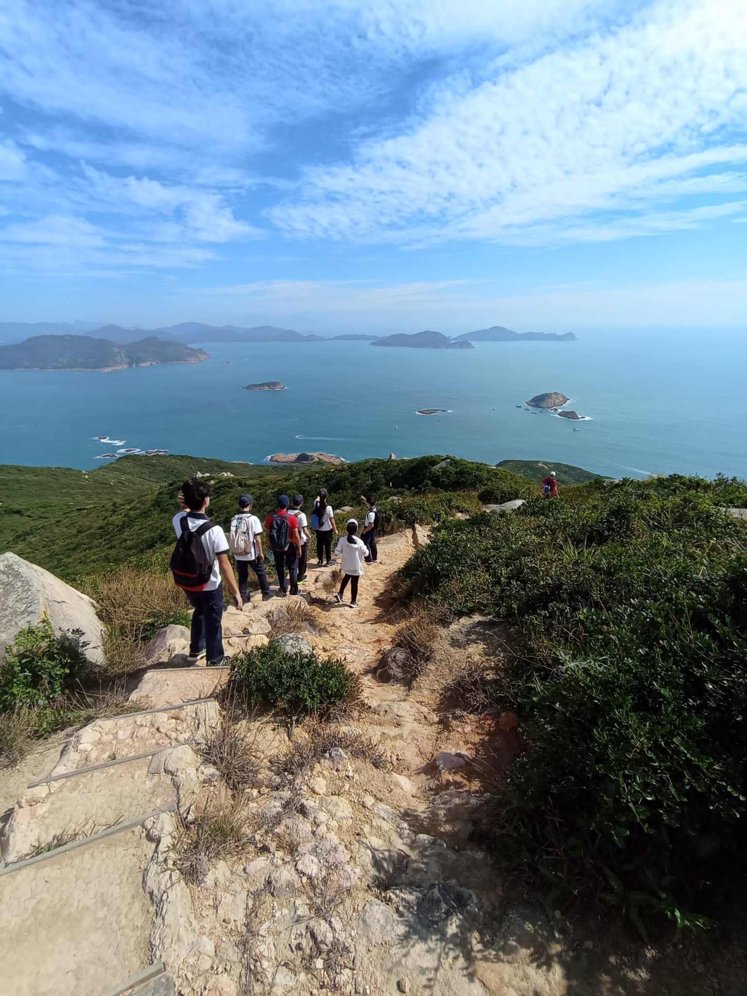
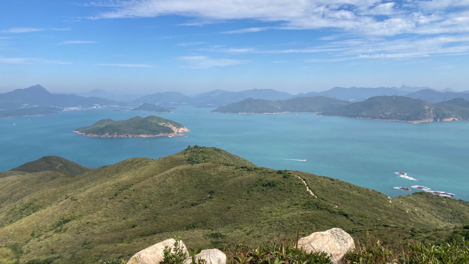
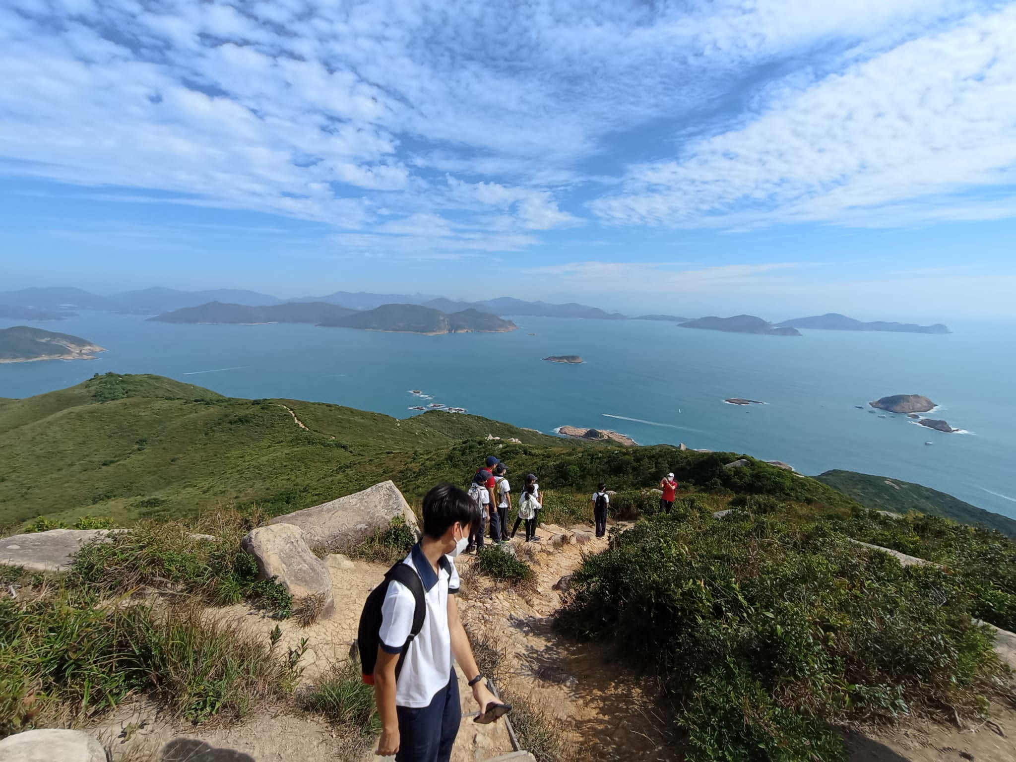
The Lung Ha Wan Country Trail is a fairly common trail for hikers to go on. It’s a relatively short hike compared to other hiking trails in Hong Kong. It is about 6.3 km and only takes about 2-3 hours to finish. This hiking trail goes through the picturesque Clear Water Bay country park, and offers a view of both the urban city of Sai Kung and the stunning Clear Water Bay. The views mainly consists of rolling green hills and sparkling blue water, a breathtaking scene even for those who always hike. Green Egg Island, where we snorkelled last June, is also seen on this hike if you look closely enough. There are also little oddities along the way, including rock carvings, view points, and odd trees.
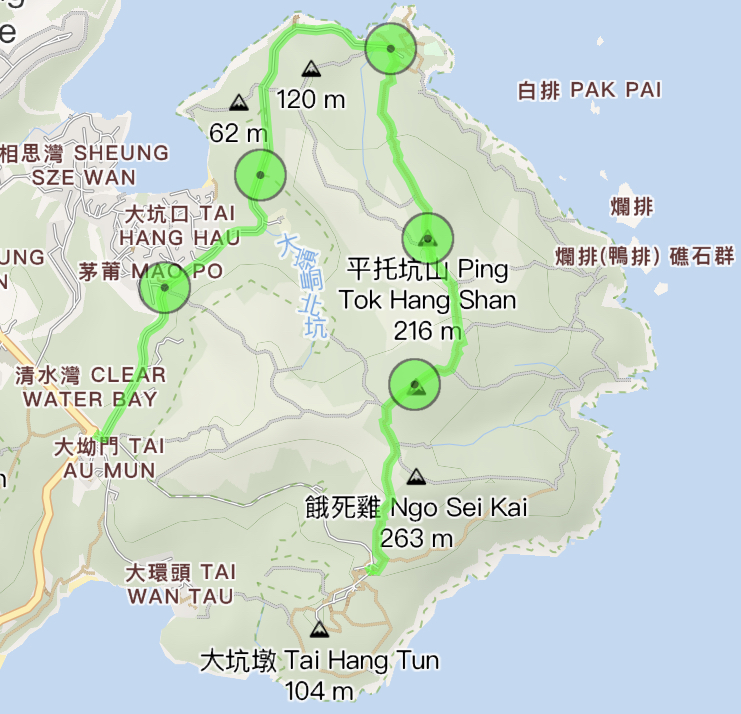
Getting There
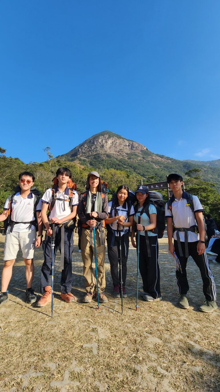
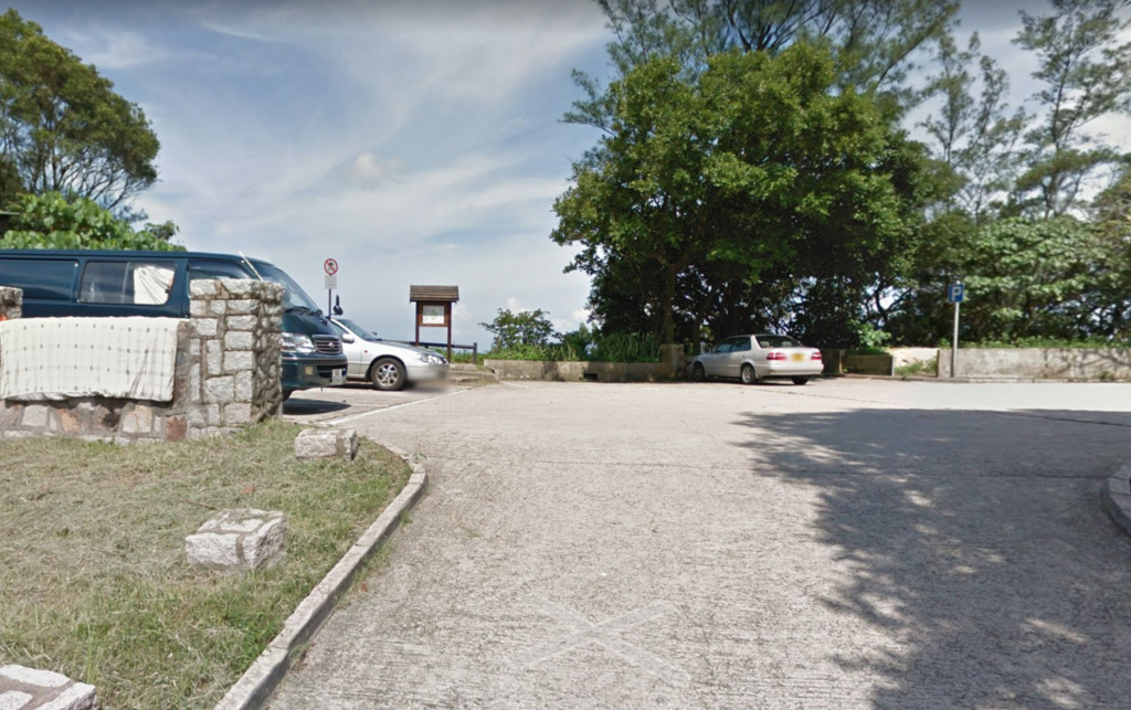
We first all met up at Admiralty MTR Station Exit A, the usual starting point, with our pristine activity uniform of a polo shirt and long pants, and a bunch of hiking equipment. After boarding the shuttle bus, it took around half an hour to reach Tai Au Mun Kite Flying Area, the spot where we will start our hike. As we disembarked the shuttle bus, I reoriented myself and found the hiking trail, which was quite hidden at the back of the car park. There was also a toilet, which pretty much everyone went before we started.
Tai Au Mun Kite Flying Area – Tai Leng Tung
Time
30 mins
Distance
850 metres
Elevation
180 metres up
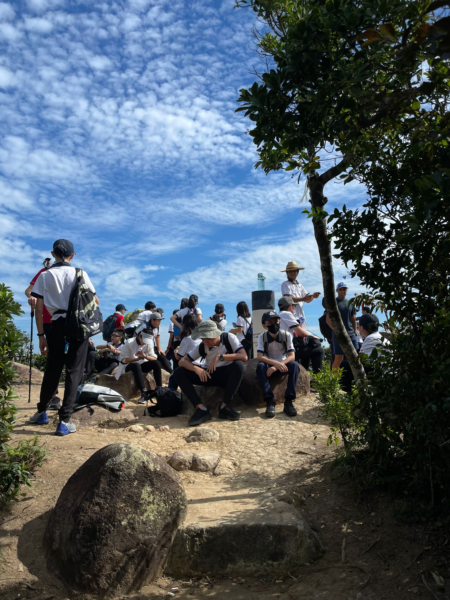
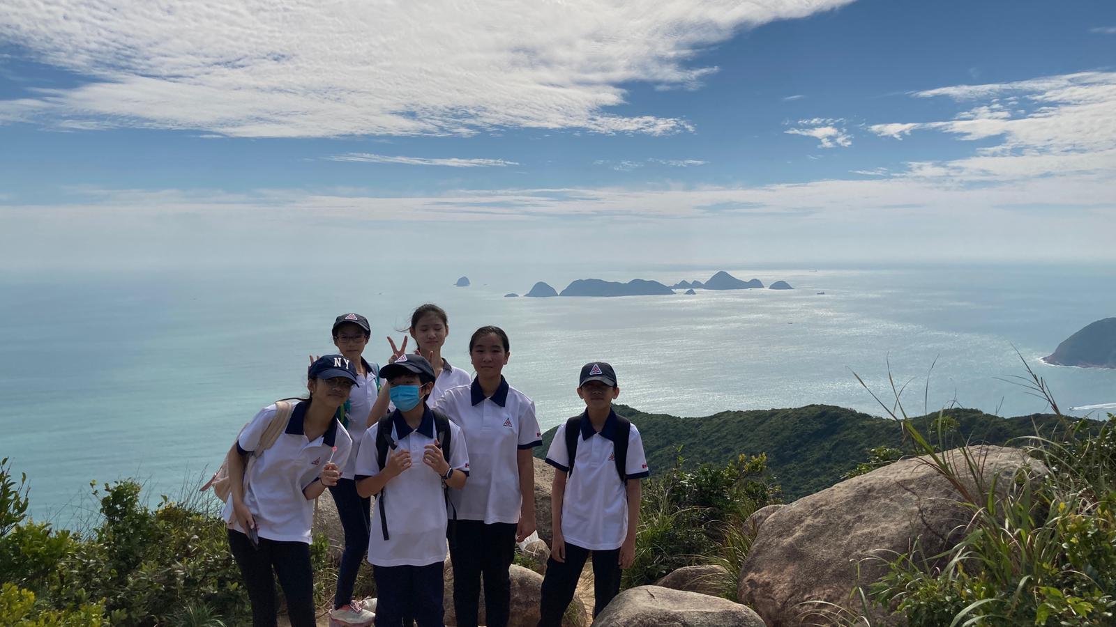
After getting everyone ready, we started hiking towards the peak of the mountain. The first part of the hike was actually quite steep, with quite a lot of tall stairs. After a while, all of our mouths were parched and our tongues were hanging out just like a dog. The sun was shining down on our back, and we were all sweating like mad. This was perhaps the hardest part of our hike, and many of us had to stop midway just to sit down and take a break. Finally, after 30 minutes of hard work, we reached the peak of the mountain – Tai Leng Tung, rewarding us with a stunning view of Hong Kong. We all sat down and took a break after reaching the peak.
Tai Leng Tung – Lobster Bay
Time
1 hour
Distance
1500 metres
Elevation
270 metres down
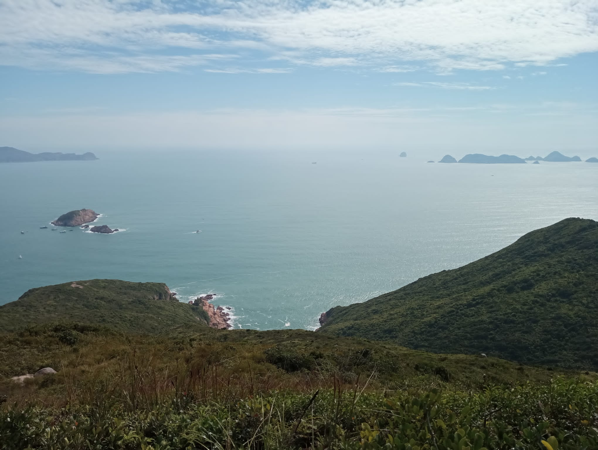
After drinking some water and eating some snacks, we were ready to continue with our hike. As we slowly descended the mountain, we saw lots of photogenic views, as there weren’t any trees or overgrowth to cover our vision. The path ran through the rolling hills, occasionally passing through hidden paths in the bushes and rocks. Some of us decided to climb on top of the rocks and take pictures, and they were indeed picturesque!
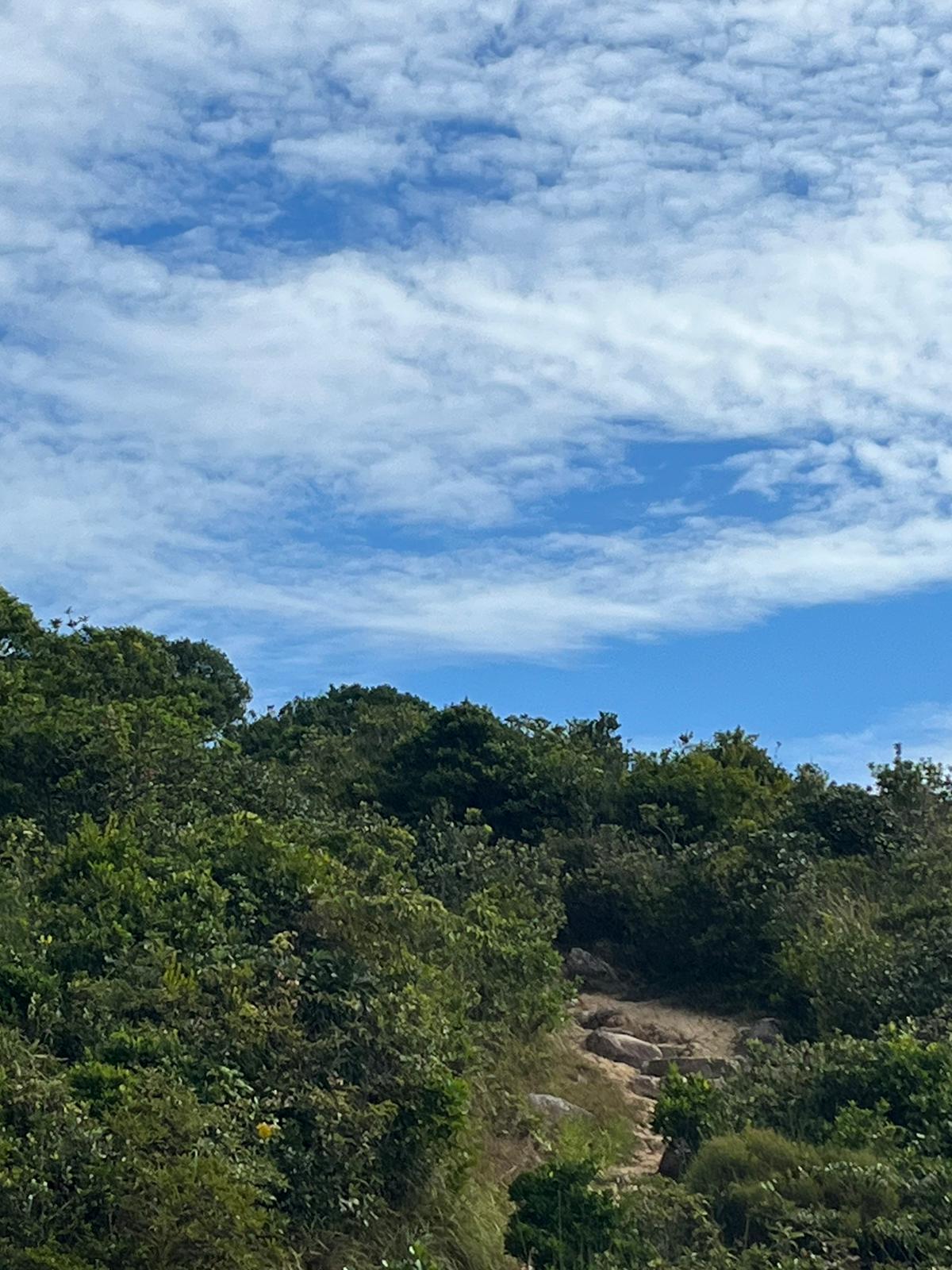
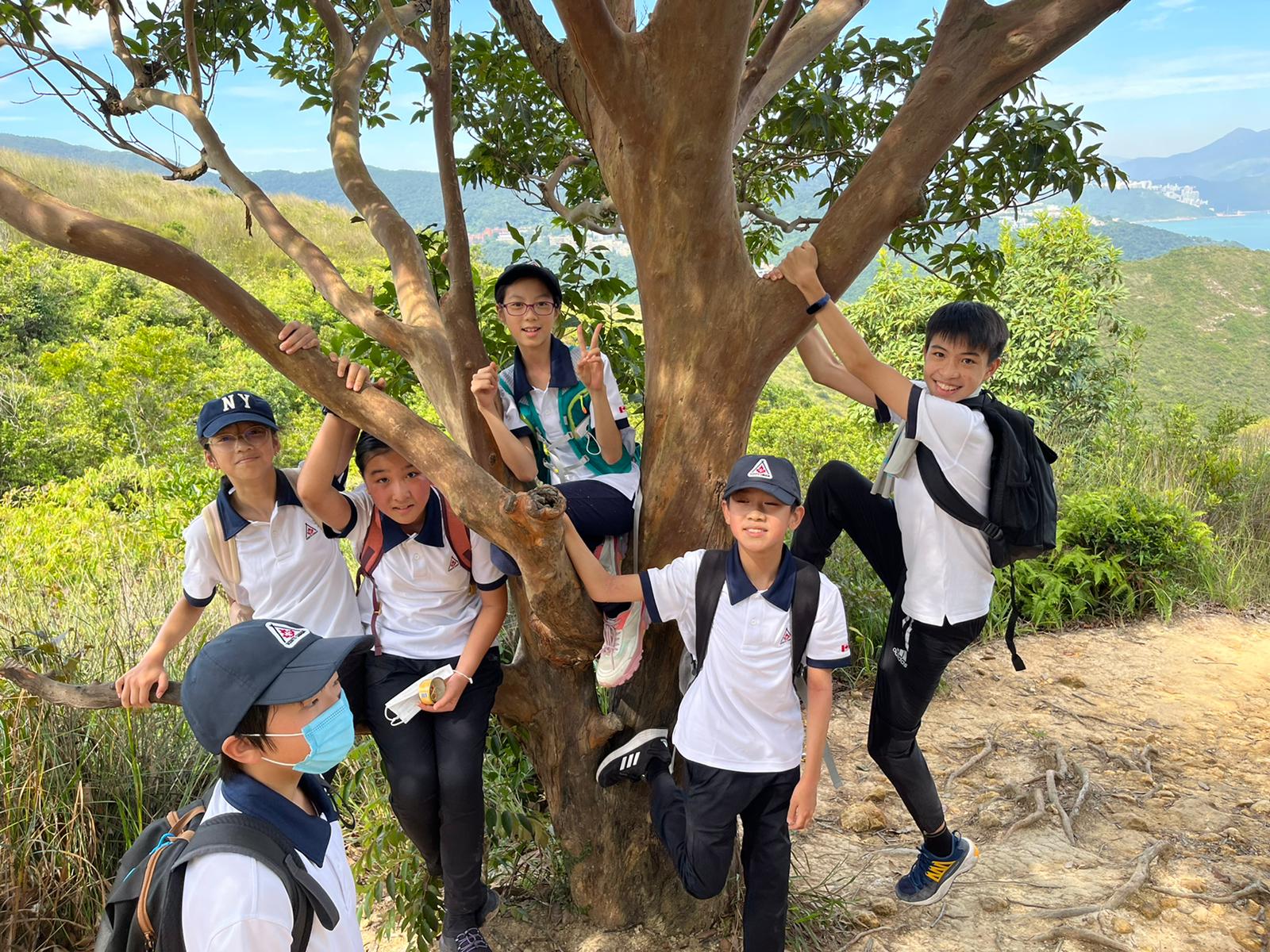
One of the oddities that we saw was the Lobster Tree, something that none of us have seen before. It was a curious little tree with branches poking around. We all tried to climb on top of the tree but there wasn’t enough space for everyone.
Lobster Bay – Tai Au Mun Roundabout
Time
1 hour
Distance
2300 metres
Elevation
100 metres
Arriving at Lobster Bay, we were all quite exhausted from the hike. Our knees were shaking, our stomachs were grumbling, and we were ready to go home. It was a slow and easy walk all the way back to the roundabout, where the shuttle bus was waiting for us. We all collapsed into our seats and many of us fell asleep on the way back to Admiralty MTR Station.
Overall, this was quite a successful hike, and we all enjoyed it a lot. We look forward to our next hike at Lamma Island. Stay tuned for more information and posts! Also, feel free to share this post to anyone else who would like to hike on this trail!
Signing off,
Jasper Yam, Scouts Author 1


